pfCAD K7
pfCAD K9

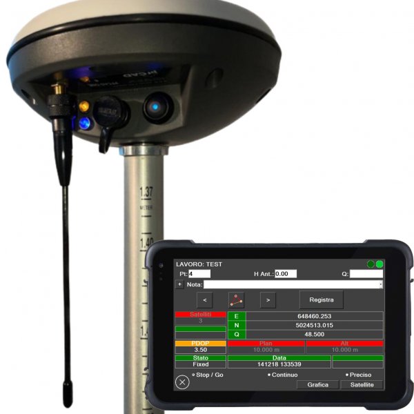
GPS RTK pfCAD ONE
Il GPS made in Verona
Costruito sulla base dei nostri software con oltre 35 anni di esperienza!

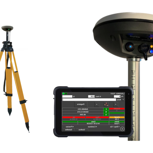
GPS BASE E ROVER pfCAD ONE PLUS K
ANCORA PIU' CANALI, 1226!
Sistema GNSS RTK di altissima precisione, totalmente autonomo!
Con NUOVE schede da 1226 CANALI
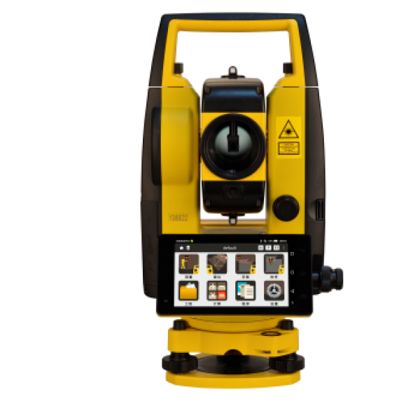
SOUTH A1
Stazione Totale Android
- SISTEMA OPERATIVO ANDROID
- GRAFICA SU SCHERMO HD 5"
- PRECISIONE ANGOLARE 1" O 2"
- DISTANZA SENZA PRISMA 1000M
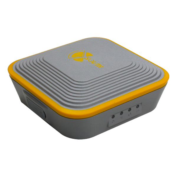
GPS RTK SOUTH S660P
Compact and lightweight
• 220 canals
• GPS+GLONASS+BEIDOU
• compatible with PFGPS
• Protection IP 67
• Battery da 6800mAh
• Dimensions 10cmX10cmX3.5cm
• Weight 540g

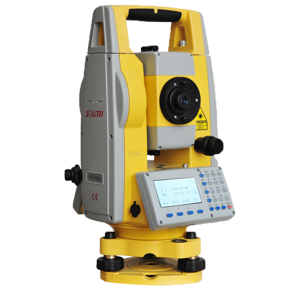
SOUTH N4
Total Station
• 600 m/1000 m reflectorless
• double screen 3.5"
• Rapid measuring key
• Data transfer by SD and USB
• Temperature and Pressure automatic correction
• On board camera (Optional)
SOUTH N6
Total Station
- 600 m/1000 m reflectorless
- Data transfer by SD and USB
- Temperature and Pressure automatic correction
- Laser Plumnet

GPS RTK SOUTH GALAXY G1S
• 220 channels
• GPS + GLONASS + BEIDOU + GALILEO
• BLUETOOTH 4.0
• IP 67 resistance
• Dimensions 13 cmX12cm
• Weight 970 g